Skip to content
About Us
Services
Planning & Entitlements
Land Development
Municipal Engineering
Construction Phase Services
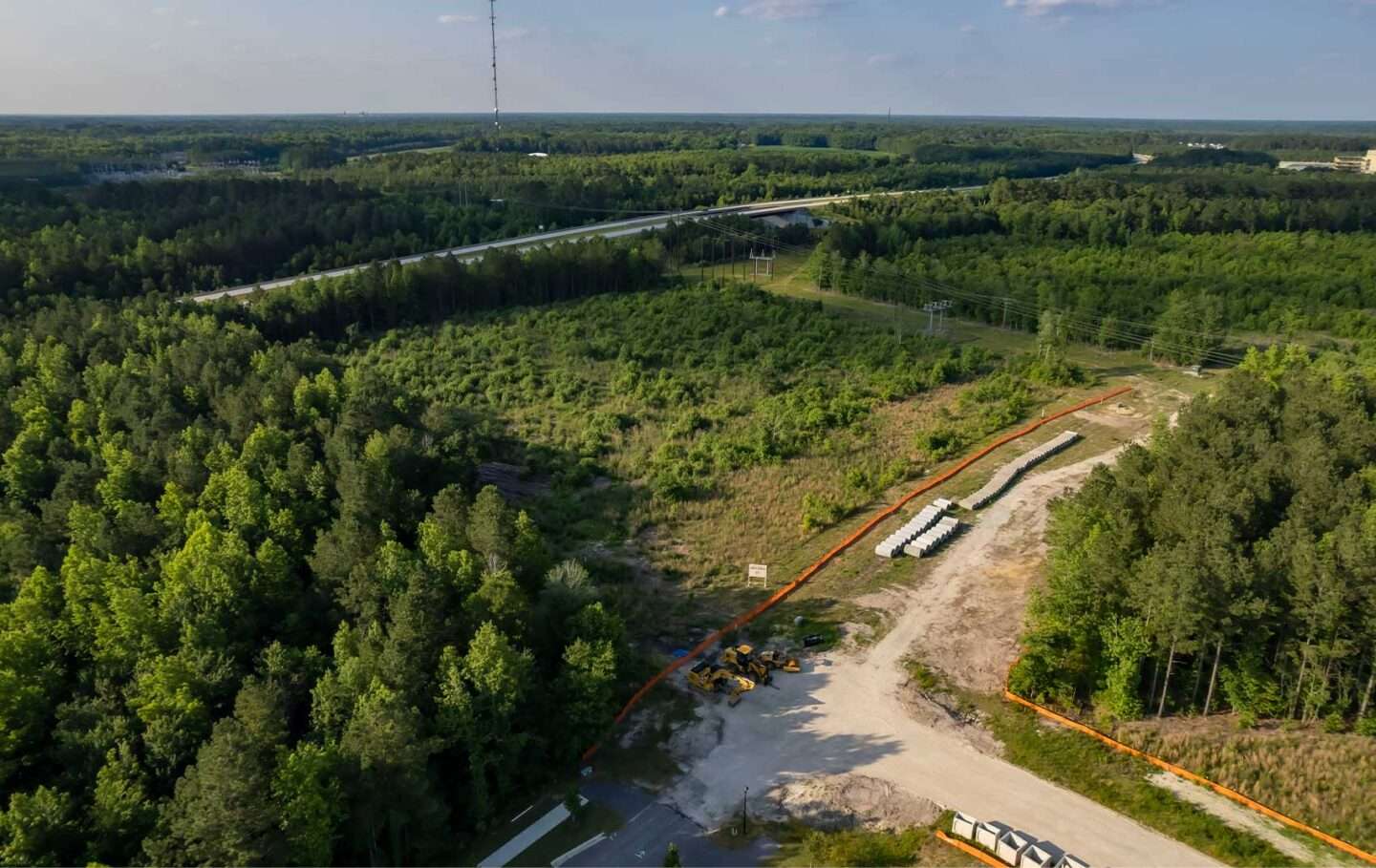
Land Surveying & Geomatics
Join Us
Contact
About Us
Services
Services Menu
Planning & Entitlements
Land Development
Municipal Engineering
Construction Phase Services
Land Surveying & Geomatics
Services CTA
Join Us
Contact
Start a project
Menu
Land Surveying & Geomatics